Ecosystems: Evaluation & cartography
The second NAbSA Dialogue on “Ecosystems: Evaluation & Cartography” highlighted crucial environmental initiatives, including the Red List of Ecosystems, the Femmes Pro-Forêts program, the SEDAD project, and Natur’ELLES. Experts discussed ecosystem risk assessment, climate adaptation, and conservation efforts across diverse ecosystems. Emphasising local data, community participation, and gender inclusivity, these projects showcase collaborative approaches to safeguarding ecosystems and enhancing resilience in the face of climate change.
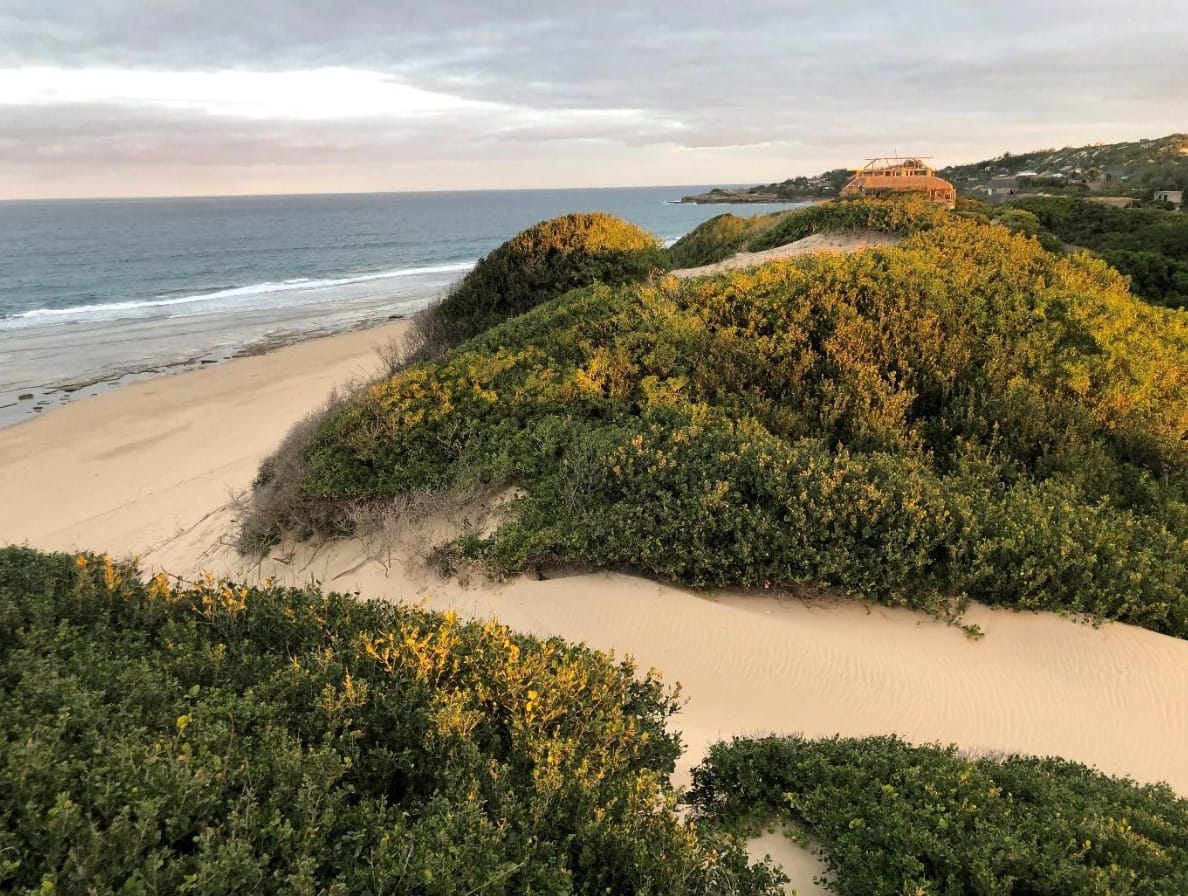
 copyright Michelle Kuenzli
Thank you to all presenters for their informative presentations and for sharing their respective inputs on the evaluation and cartography of ecosystems:
- Marcos Valderrábano, IUCN: “The IUCN Red List of Ecosystems”
- Elise Lortie & Caroline Mailloux, UPA DI: “Femmes Pro-Forêts (FproF)”
- Anne-Sophie Lessard, Habitat: “Femmes Pro-Forêts (FproF)”
- Chloé L’Ecuyer-Sauvageau, CREE: “Femmes Pro-Forêts (FproF)”
- El Hadji Sow, Université Gaston Berger: “Solutions écosystémiques d’adaptation durable (SEDAD)”
- Yakhya Gueye, IUCN: “Natur’ELLES”
- Trevor Gareth Jones, Ostrom Climate Solutions: “Natur’ELLES”
- Edoardo Carlucci, IISD: “Natur’ELLES”
“The Red List of Ecosystems includes current ecosystem maps, past ecosystem maps, historic ecosystem maps, and future projections. This information is very useful for deciding on strategies in each place for example for restoration and adaptation plans.” – Marcos Valderrábano, IUCN
After setting the stage by Verónica Ruiz, Programme Manager Climate and Disaster Resilience at IUCN and coordinator of the NAbSA programme, Marcos Valderrábano started the webinar by introducing the Red List of Ecosystems (RLE), a global standard for assessing ecosystems’ risk of collapse. The RLE does not set priorities but rather helps to inform them. The assessment process begins with defining the ecosystem’s structure and function, followed by evaluating trends using five criteria (A-E). The risk categories mirror those of the Red List of Threatened Species, from Least Concern to Critically Endangered, with ecosystem collapse as the ultimate threat. The IUCN Global Ecosystem Typology is used to organize ecosystems into a hierarchical structure with six levels, including realms, biomes, and ecosystem functional groups.
Marcos highlighted the importance of using localized data, demonstrated by mangrove assessments differing on the global and national scale. The RLE aids in national priority planning, protected area planning, and impact mitigation, and is integrated into national legislation for restoration, development planning, and adaptive management. It also supports reporting on global objectives, though local data is crucial for practical application.
Addressing specific threats is key to successful restoration and adaptation. The framework assists in ecosystem restoration and climate adaptation by providing current, past, and future ecosystem maps to guide efforts. By assessing ecosystem resilience over time, progress can be tracked with specific indicators. The collaborative effort of experts across fields is essential for compiling and interpreting data, making the Red List of Ecosystems a critical tool for policy-making and on-the-ground interventions.
“When we obtain the participatory maps, it’s to identify the uses for men and women and to help understand the use of the land around the villages, which brings out the ecosystem services.” – Chloé L’Ecuyer-Sauvageau, FproF
Caroline Mailloux introduced the Femmes Pro-Forêts (FproF) program, a three-year initiative in partnership with the Canadian Research Chair in Ecological Economics (CRCEE) and collaboration with Habitat, WASCL, EQUITAS. The program targets climate change adaptation for vulnerable women and their families in the Parc National du Moyen-Bafing, Guinea’s second-largest park and a critical biodiversity hotspot. The program’s objectives include promoting nature-based solutions to support biodiversity and enhancing the economic opportunities for women through these solutions. It also aims to ensure inclusive governance for the park’s biodiversity, prioritizing the adaptation needs of women.
Anne-Sophie Lessard discussed the use of spatial data to map biodiversity and ecosystem services within the project FproF. She highlighted the integration of local knowledge with satellite and GPS data to prioritize areas for reforestation and biodiversity conservation. The project developed a land-use classification to better address specific conservation needs.
Chloé L’Ecuyer-Sauvageau emphasized participatory mapping with local communities as a key tool for building trust and incorporating public values and knowledge into decision-making. This approach was used in 15 villages, considering gender-specific land use and the ecosystem services vital to community activities.
View more details on Femmes Pro-Forêts work here
“When we map the evolution of mangroves, we need above all to identify and analyse the factors causing mangrove degradation. Because before setting up restoration strategies, we need to know the factors that are linked to this degradation – natural factors and anthropogenic factors.” – Dr El Hadji Sow, SEDAD
Dr El Hadji Sow presented the SEDAD (Solutions écosystémiques d’adaptation durable) project, which focuses on preserving and restoring mangrove ecosystems in Senegal and Gambia. The project aims to contribute to the preservation and restoration of the mangrove ecosystem, through the implementation of nature-based solutions in four Marine Protected Areas (MPAs): two in Senegal and two in Gambia. The primary goals include assessing current mangrove areas, developing and implementing plans to rehabilitate degraded mangroves, strengthening the technical and operational capacities of local stakeholders, and improving the living conditions of nearby communities.
Key tasks of the SEDAD project involve mapping and zoning of mangrove areas, assessing threats, and analysing the causes of degradation – both natural and human-induced. The project uses the DPSIR model (Driving force-Pressure-State-Impact-Response) to evaluate environmental changes and develop restoration strategies. The outcome aims to create sustainable governance mechanisms for mangroves, ensuring their conservation benefits both the environment and local populations.
View more details on the mapping and zoning of mangroves by SEDAD here
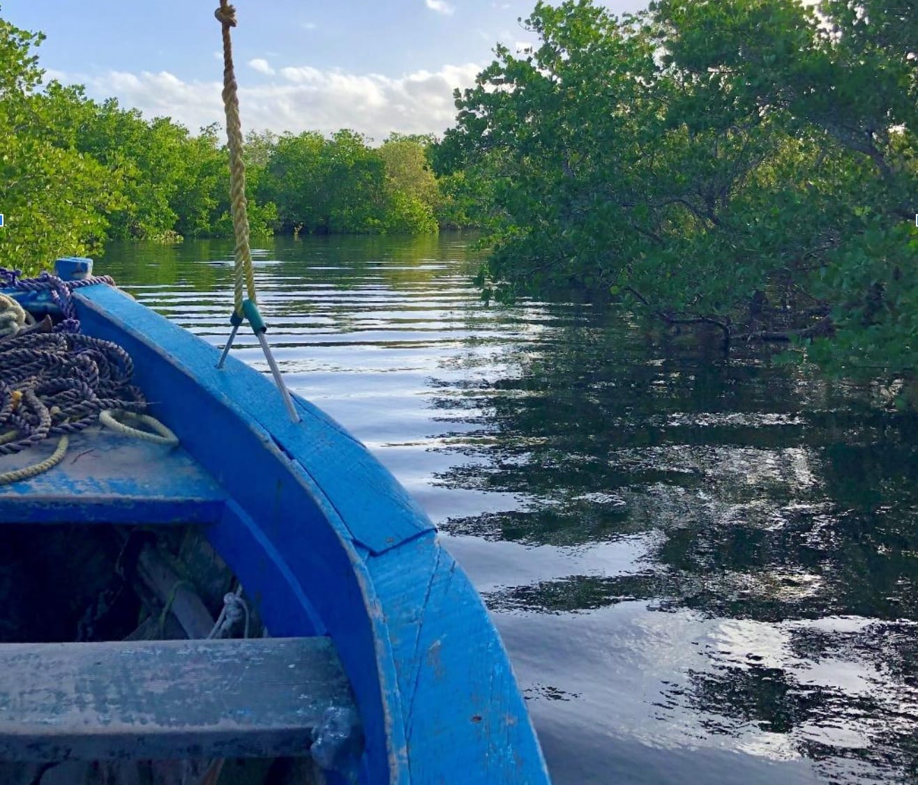
 copyright Michelle Kuenzli
“Land cover maps are critical for local resource management, including conservation, restoration, reduced impact use, and financial mechanisms such as blue carbon.” – Trevor Gareth Jones, Natur’ELLES
Frédérique Thomas introduced the project Natur’ELLES, a collaborative initiative focused on the protection, conservation, and restoration of marine and coastal ecosystems in the Casamance and Siné Saloum regions. Centred around nine Marine Protected Areas (MPAs) and Indigenous and Community Conserved Areas (ICCAs), the project leverages the diverse expertise of all partners involved. By prioritizing the preservation and recovery of mangroves, Natur’ELLES plays a crucial role in climate change adaptation. The project emphasizes the active involvement of local women, empowering communities while enhancing environmental sustainability and resilience in these vital regions.
Yakhya Gueye elaborated on participatory mapping techniques in marine protected areas in Casamance and Siné Saloum, Senegal. He highlighted the role of traditional knowledge in environmental management, stressing the importance of community consent and participation in creating management plans. The process ensures that local knowledge is preserved and integrated into planning and conservation efforts, reflecting the specific practices and cultural expressions of the communities involved.
Trevor Gareth Jones, discussed the importance of land-cover mapping, which refers to the physical material on Earth’s surface, such as distinct mangrove classes. He emphasized that land-cover mapping is crucial for understanding landscape changes and modelling future scenarios. While distinct from land-use, which reflects human value, land-cover mapping is vital for local resource management, conservation, restoration, and financial mechanisms like blue carbon. Trevor further described his team’s work on inventorying, acquiring, and comparing land-cover maps for the Casamance and Sine Saloum Deltas. He noted the limitations of existing maps, such as their failure to capture the ecological variability within mangroves or subtle degradation.
Eduardo Carlucci presented the SAVi methodology, a system-thinking approach to assess the impact of mangrove reforestation and conservation. This methodology integrates a qualitative system mapping process and a quantitative cost-benefit analysis of social, environmental, and economic indicators. Eduardo explained that SAVi assigns monetary values to externalities, such as job creation and health impacts, thus reducing project-related risks and empowering policymakers and local communities. This enables better planning and maximising investment effectiveness in reforestation and conservation projects.
View more details on the participatory mapping done by Natur’ELLES here
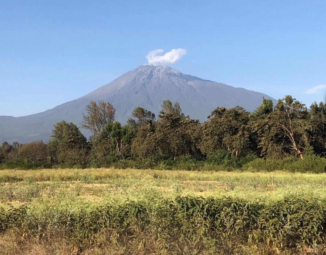
 copyright Michelle Kuenzlii
The webinar’s discussions emphasized the importance of assessing ecosystems’ risks, using local data, and involving communities in restoration efforts. Techniques such as participatory mapping and land-cover analysis were highlighted as essential for understanding landscape changes and guiding conservation strategies. The discussions underscored the need for integrating traditional knowledge, gender considerations, and collaborative approaches to effectively plan and implement Nature-based Solution projects, ensuring resilience and sustainability in vulnerable regions.
Don’t miss the next one: Join us monthly!
The NAbSA Dialogues are a platform for experts and stakeholders interested in the practical integration of biodiversity conservation and gender approaches for the design and application of effective NbS for climate adaptation and community resilience. Join us to explore how preserving the diversity of life on Earth is crucial for a sustainable future in our changing world.
For more information on these Dialogues or NAbSA, please contact Veronica Ruiz ([email protected]) and Zoe Jafflin ([email protected]).
